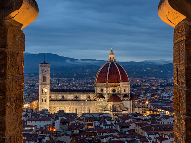
Image by Nation Geographic (February 2014)
Classic, historical architecture has the ability to command attention. These buildings create the iconic skylines etched throughout our travels.
In honor of their creators, I would like to re-introduce a few of these historical resources in a mini series. The first stop is Brunelleschi’s Dome in Florence Italy. Learn more about innovation, rivalry and ultimately perseverance in NatGeo’s article, Il Duomo (February 2014).